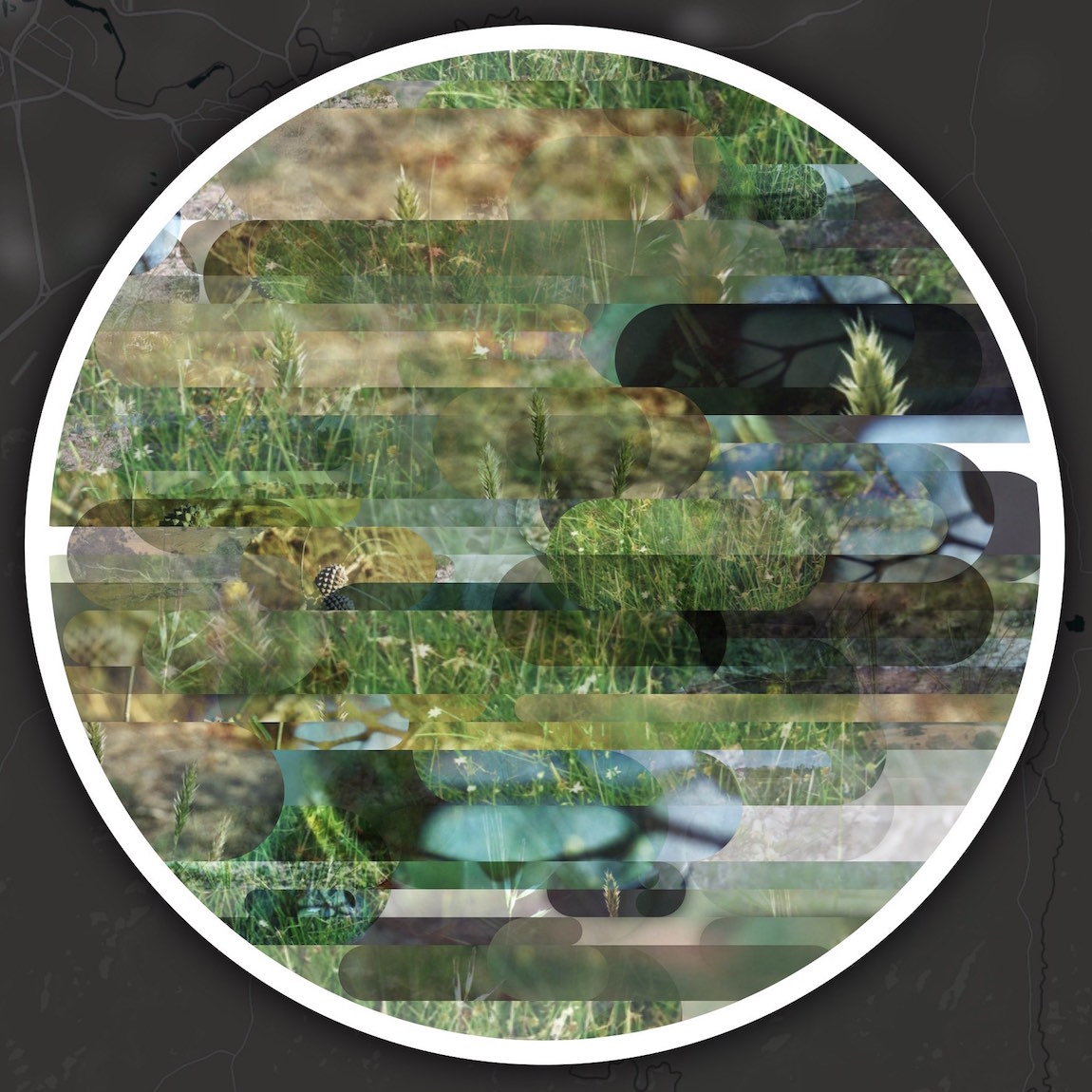
Local Kin is a visual explorer for biodiversity data. It draws on tens of thousands of observations from citizen science platform Canberra Nature Map, weaving them into visual mosaics that reflect local ecological communities and the cycles of seasonal variation in the Canberra region. It is an experiment in how biodiversity data can support rich, engaging representations of living landscapes; and in particular how data points can be "re-integrated" to emphasise coexistence and community. Local Kin was launched at the Untaming the Urban workshop at the Fenner School, ANU, in December 2016.
In July 2020 an updated version of Local Kin was launched, with improved graphics and a much expanded dataset, drawn live from the Atlas of Living Australia API.
Local Kin is included as a case study in a 2021 paper co-authored with Belinda Smaill, Biodiversity Data as Public Envirionmental Media.
Launch: Local Kin